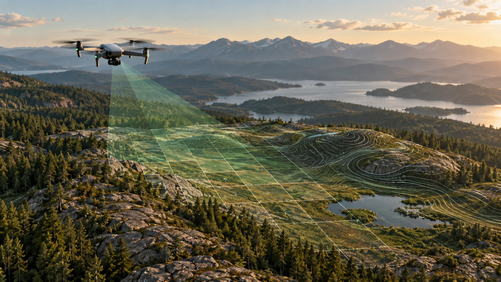
Drone mapping uses many overlapping photographs of the same ground to reconstruct a site. The aircraft records the images; processing finds features shared between photos, estimates camera positions, and builds spatial products from the aligned views.
What can a flight produce?
An orthomosaic is a corrected image map assembled from the photographs. A point cloud represents reconstructed positions in three dimensions. An elevation surface describes height across the area. Depending on the project and source data, these products can support visual inspection, distance and area measurement, profiles, or volume estimates. They are different outputs and should be checked separately before delivery.
What matters before processing?
- Plan enough image overlap so the same ground features appear in several photographs.
- Keep original image metadata, including camera positions where available.
- Check image sharpness, coverage, and lighting; weak inputs cannot be repaired by a processing preset.
- Decide the coordinate system and whether surveyed ground control or independent checkpoints are needed.
How does MapFocal Survey fit?
Survey brings image import, preflight, processing, map layers, annotations, measurements, reports, and exports into one desktop workflow. It checks machine resources and can adapt processing settings to a supported GPU. For a real project, start with a small representative dataset and inspect the map and accuracy report before relying on measurements.
Read the image and GCP import guide and the map layers guide. For a published example of aerial images, ground control, orthomosaics, and elevation products, see the USGS data release.