The desktop interface may change during testing. Use sample data before applying a new workflow to a customer project.
01 · Check the images
Use original geotagged photographs. Keep one coherent flight per dataset and check time, coordinates, sharpness, and overlap.
02 · Create a dataset
Open Survey, create a dataset, and choose the folder with source images. Wait for the preflight checks to finish.
03 · Add control points
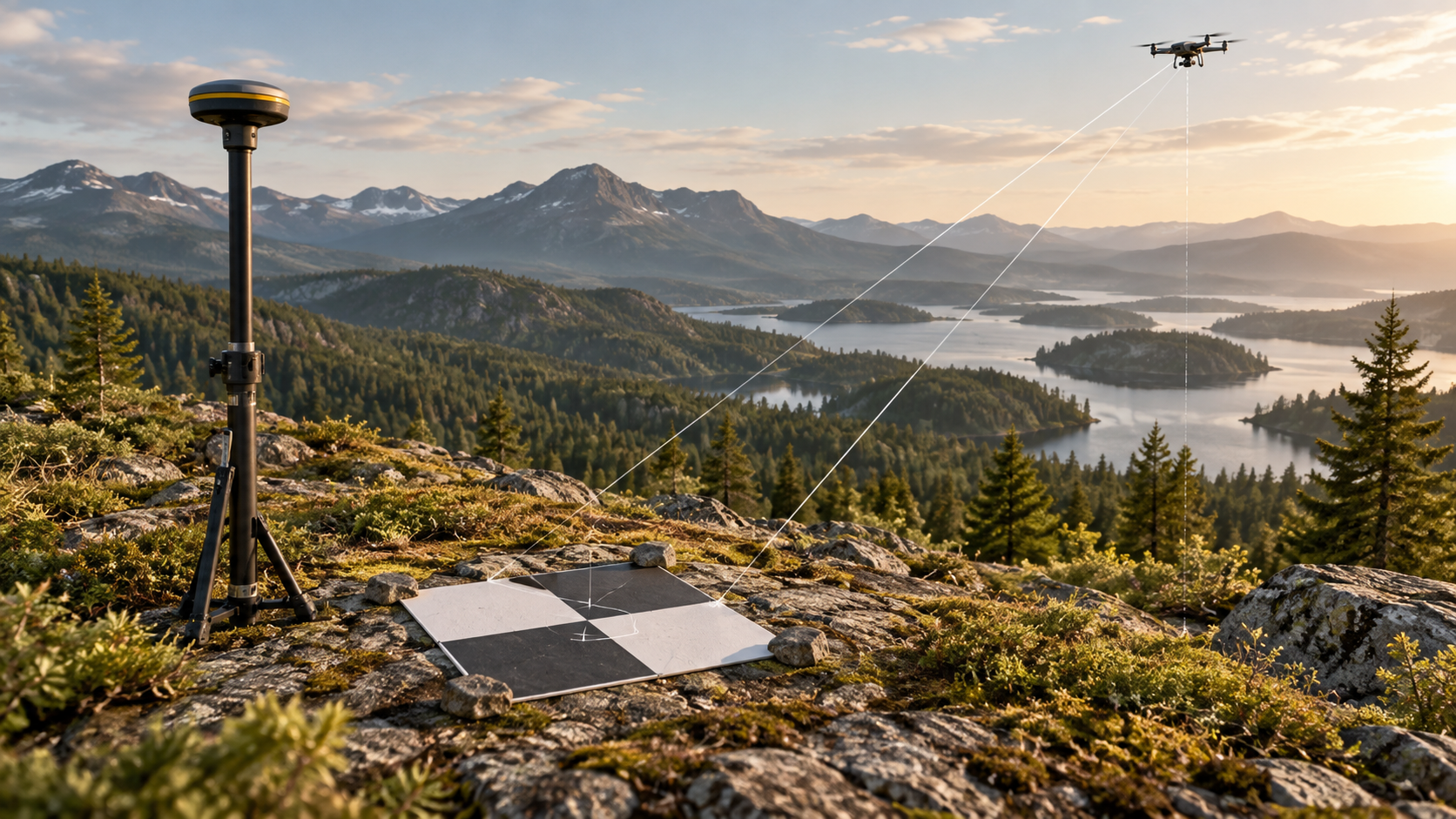
Import ground control with the expected coordinate reference system and units. Review point names, coordinates, and checkpoints before starting.
04 · Review preflight
Resolve missing GPS, duplicates, unreadable files, or insufficient disk space. Keep a safety backup of important source material.