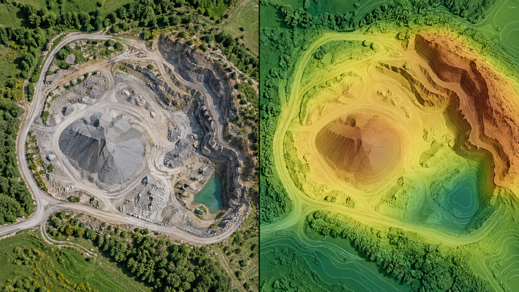
The desktop interface may change during testing. Use sample data before applying a new workflow to a customer project.
01 · Open the survey map
Wait for the dataset to load and select the processed survey.
02 · Toggle layers
Turn imagery, terrain, photo positions, annotations, and other available layers on or off in the layer list.
03 · Inspect photos
Select a photo dot to inspect its image and metadata. Dots require valid photo coordinates; check source GPS if the layer is empty.
04 · Check the legend
Confirm color scales, units, and coordinate context before sharing a screenshot or reading a value.