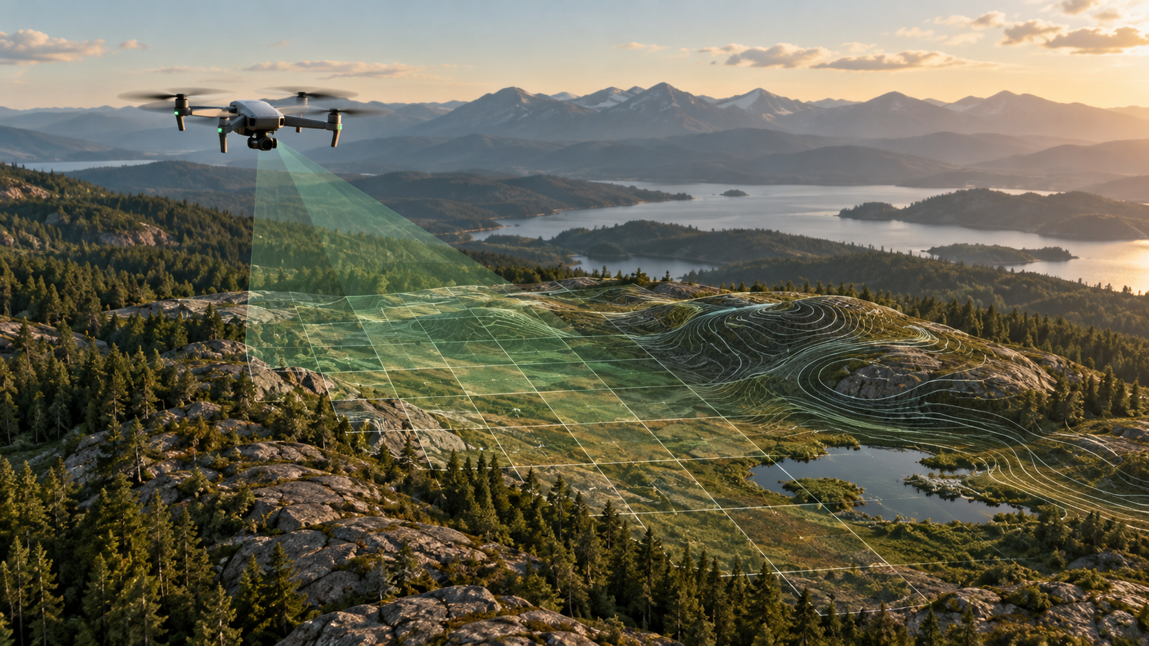
Large rasters and point clouds are expensive to reopen when every view requires reading the whole file. COG and COPC organize data for selective access.
Cloud Optimized GeoTIFF
A COG is still a GeoTIFF, with internal tiling and overviews arranged for efficient range reads. Keep a lossless canonical survey raster; use a JPEG-compressed display COG or smaller export only when its trade-off is clear.
Cloud Optimized Point Cloud
COPC stores LAZ-compressed points in a hierarchy that supports spatial and level-of-detail queries. It can replace separate LAS, LAZ, and EPT copies in many workflows.
Validation matters
Check CRS, nodata, bands, data type, compression support, overview levels, point attributes, file checksum, and independent-reader compatibility.
Efficient formats reduce storage and improve reopening time, but they do not change the accuracy of the underlying reconstruction.
Why tiling and indexing matter
A conventional GeoTIFF or LAS file may require large reads before a viewer can display a small area. A COG organizes raster blocks and overview levels for range requests. COPC adds a spatial hierarchy to LAZ so clients can retrieve relevant point nodes progressively. The formats improve access; they do not change the underlying survey accuracy.
Create a canonical and a display representation
Keep a lossless survey raster as the canonical deliverable. Produce a JPEG-compressed COG near quality 90 for responsive visual display and label it as a display derivative. For elevation rasters, test DEFLATE and ZSTD with floating-point prediction against the bundled GDAL version, file size, read performance, nodata, and interoperability.
Keep one canonical compressed point cloud, preferably COPC/LAZ when the receiving workflow supports it. Do not retain LAS, PLY, EPT, and multiple tile trees merely because the engine produced them. Verify the selected file, then classify alternatives as regenerable derivatives or legacy attachments.
Validate structure, not only extension
Run format validators, open the files independently, inspect CRS and bounds, compare pixel/point counts, and test random-access viewing. Confirm that every tileset reference exists and is non-empty. Record checksums and tool versions.
Efficient formats save local disk, backup time, and viewer startup only when the catalogue clearly identifies which artifact is authoritative.
Example canonicalization decision
Processing produces LAS, LAZ, PLY, EPT, and a web tileset. Keeping all of them multiplies storage and backup time without clarifying which is authoritative. After point count, bounds, CRS, attributes, checksum, and viewer access are verified, COPC/LAZ is retained as the canonical point cloud. The web tiles are classified as a regenerable viewer derivative and the other duplicates are eligible for cleanup.
The lossless orthophoto remains the survey deliverable, while a quality-90 JPEG COG serves responsive display. Terrain rasters are compressed losslessly after a compatibility and size comparison.
The catalogue records each derivative’s source revision and purpose. Users can free space safely because protected evidence and regenerable convenience files are not mixed together.
Sign-off record
Before relying on the workflow, record the project and revision, source dataset, selected preset or method, coordinate and height references, units, processing version, warnings, exclusions, independent validation, and the artifact used for the decision. Reopen critical outputs in an independent viewer and keep their checksums with the report.
The reviewer should answer four questions in writing: Is the required area supported by source evidence? Does the chosen product actually answer the operational question? Are accuracy and limitations stated without inferring more than the checks prove? Can another person reproduce the result from the retained inputs and settings?
If any answer is no, hold the delivery or label the limitation. A documented stop is safer than a polished output whose assumptions cannot be recovered.